Featured

Project would provide renewable energy, reduce rates, provide revenue for city’s water district


Independent investigator found Dan Quirk badgered city employees and consultants and failed to follow city policies
Manuel Leon, 27, was working as a traffic flagman at a work site on Cool Valley Road in Valley Center Wednesday when he was struck

Regulators want more information about noise, ocean debris from events widely seen across Southern California

It’s important to learn protocol in case a rattlesnake bites you or your pet while out in the backcountry
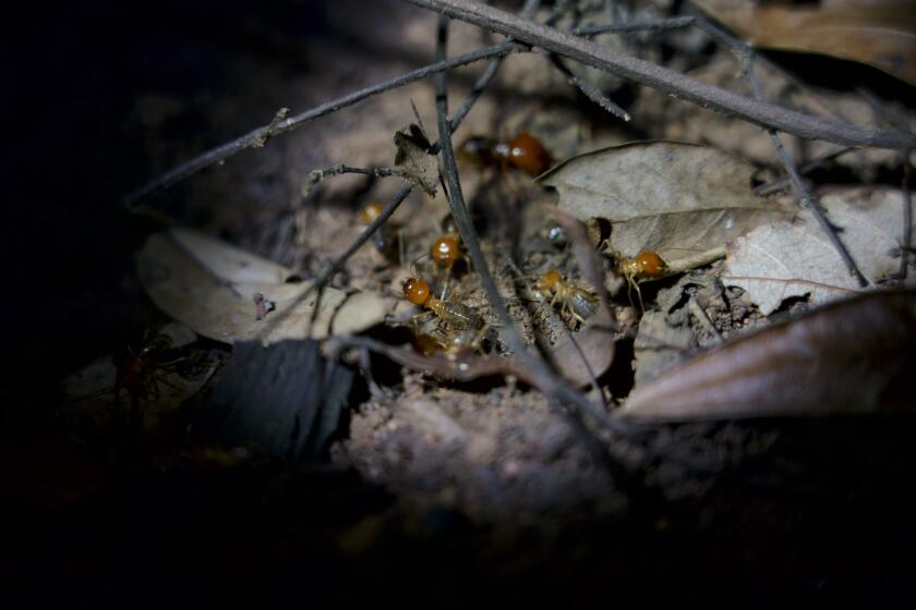
We’ve got termites!
Restrictions apply to ‘certain lighting fixtures that emit undesirable light rays into the night sky’


Get North County news in your inbox
Top stories from the San Diego North County every Monday, Wednesday, and Friday.
You may occasionally receive promotional content from the San Diego Union-Tribune.
Southbound SR-125 will be closed over the weekend, and northbound I-5 in Carlsbad will be closed Monday
The crash was reported around 7 a.m. on Cool Valley Road east of Cole Grand Road, according to a California Highway Patrol official
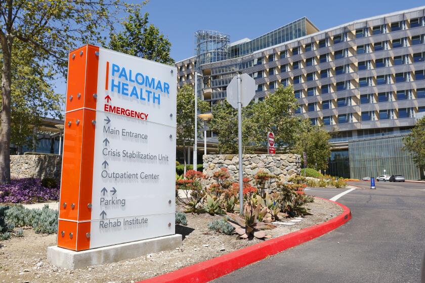
Escondido-based medical provider calls allegations ‘frivolous’ and ‘groundless’
New gardens, walkways, fencing and interpretive signs coming to ‘sunken gardens’ once used for outdoor bathing
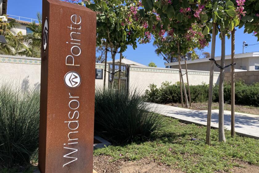
County joins city in requesting improved security and better mental health services for Windsor Pointe residents
The crash was reported around 6:45 p.m. Tuesday on state Route 78 near Earlham Street
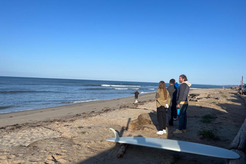
Winter storms battered the area, until the road completely collapsed, cutting off access to the treasured spot
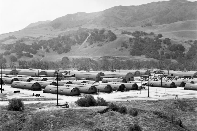
From the Archives travels today up to North County for this shot of the Camp Pendleton barracks in 1951 against the backdrop of Southern California coastal hills.

Inspired in part by a love of scenic higher elevations, resident creates an award-winning, low-maintenance landscape in the San Dieguito Water District
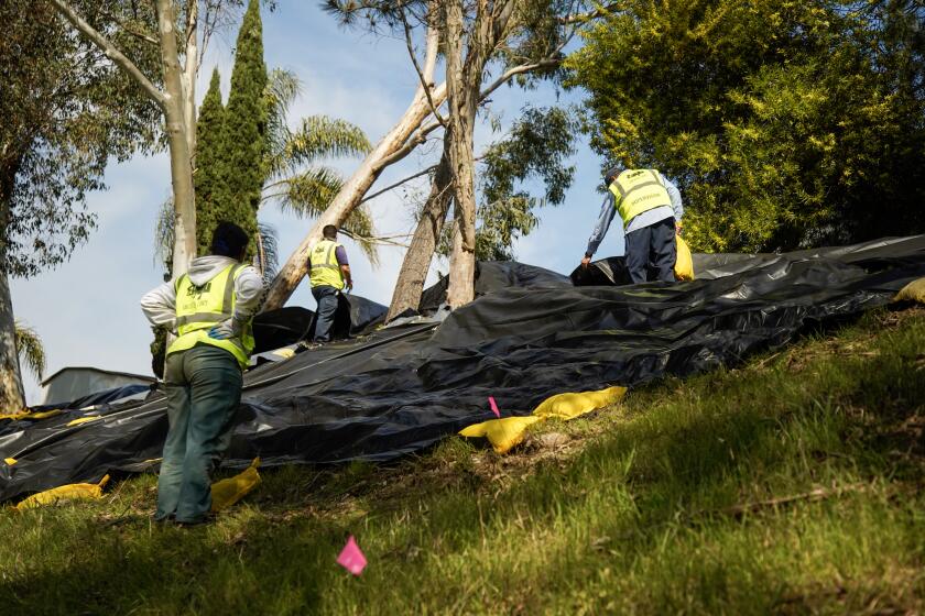
Costs continue to rise for work to stabilize hillside threatening homes and to clear creek that drains Route 78
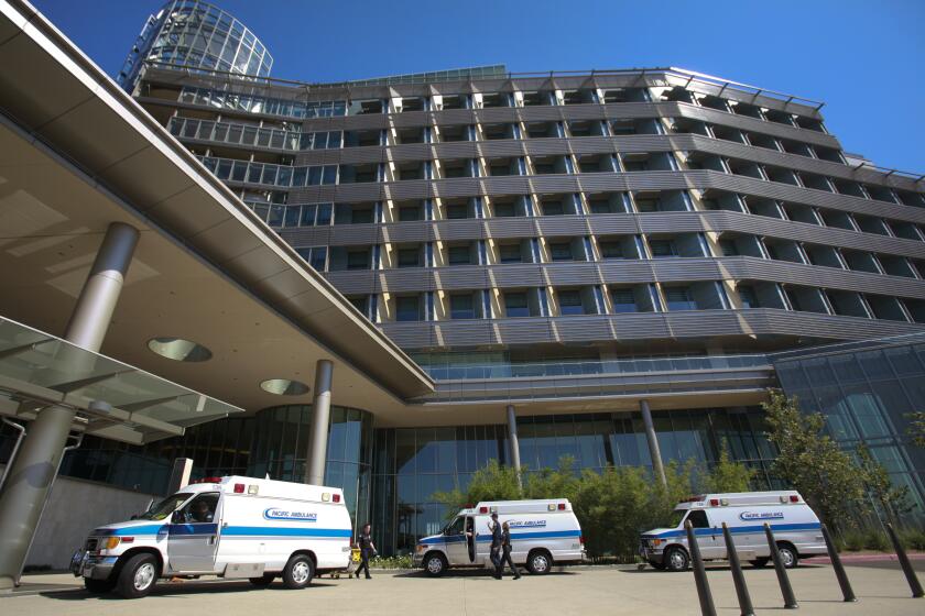
Palomar says the move will “allow the health system to focus resources” on building a new state-of-the-art facility that will break ground in May


