Featured
A 911 caller made a false report to Sheriff’s Department dispatchers that a person was walking around outside Ramona High School with a firearm, officials said.


The annual event allows area residents to meet elected officials representing Vista at the state and federal levels
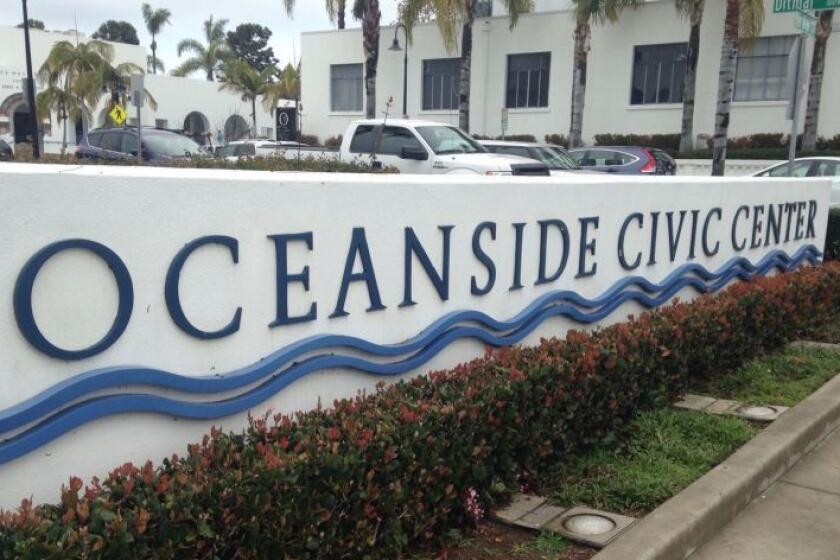
Supervisor positions sought to coordinate city’s homeless, environmental, transportation and other services
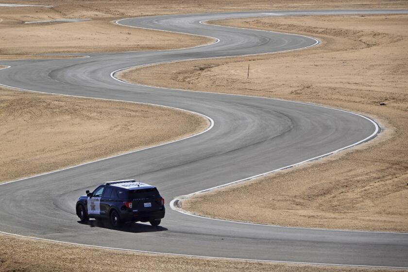
The department bought land at I-15 and SR-76 with hopes for a new station. It also wants a new Ramona substation and to replace the crumbling Vista jail.
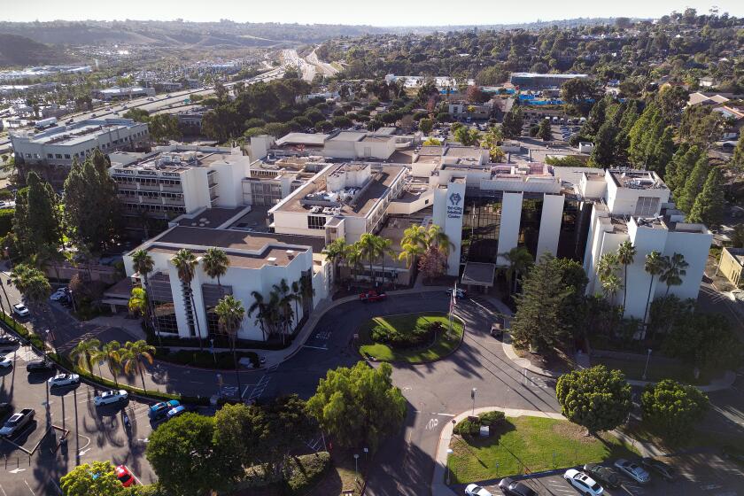
UCSD Health CEO says she’s still optimistic that a final agreement will be approved
City will use nearly $6 million to buy oceanfront 1.43-acre site
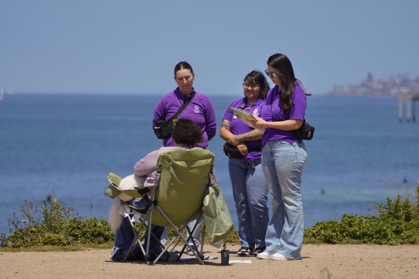
There are now nearly four dozen Mobile Crisis Response Teams responding to calls across San Diego County


Get North County news in your inbox
Top stories from the San Diego North County every Monday, Wednesday, and Friday.
You may occasionally receive promotional content from the San Diego Union-Tribune.

Council begins the ‘painful part’ of the budget-setting process for the next fiscal year
Project would provide renewable energy, reduce rates, provide revenue for city’s water district
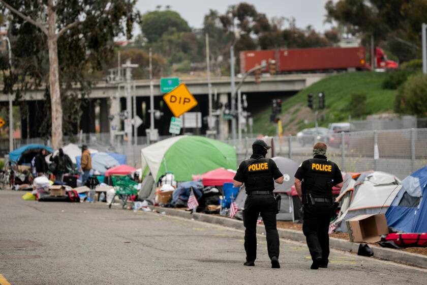
City is among 17 communities statewide to share $192 million for efforts to remove encampments from public places
A man stole a car from a motorist at gunpoint Tuesday and led law enforcement on a chase from Murrieta into San Diego County, where he then fatally shot himself after being stopped on Interstate 15, authorities said.
Decision derails Planning Commission’s approval of proposed wireless communications gear

The city of Solana Beach settled a lawsuit that it filed against the Del Mar Fairgrounds due to concerns about the environmental effects of the KAABOO music festival, which is scheduled to return to the fairgrounds later this year.

Independent investigator found Dan Quirk badgered city employees and consultants and failed to follow city policies
Manuel Leon, 27, was working as a traffic flagman at a work site on Cool Valley Road in Valley Center Wednesday when he was struck

Regulators want more information about noise, ocean debris from events widely seen across Southern California

It’s important to learn protocol in case a rattlesnake bites you or your pet while out in the backcountry
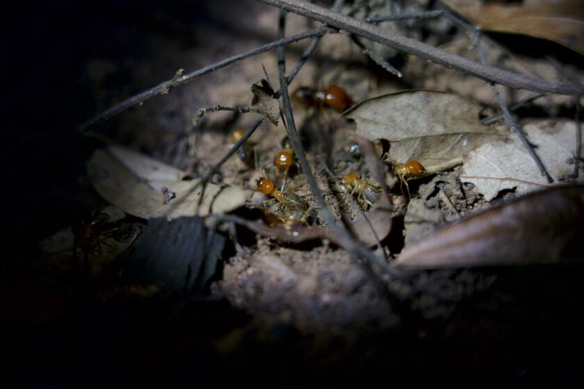
We’ve got termites!


